

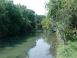
Salt Creek along Wolf Road between 31st Street and Ogden Avenue Click image for larger version and photo data |
Background 1: The Salt Creek Watershed
The Salt Creek Watershed drains approximately 154 square miles in Cook and DuPage Counties. From its beginnings north of Busse Woods to its confluence with the Des Plaines River, Salt Creek is considered an impaired stream by the Illinois Environmental Protection Agency in its 2002 “Illinois Water Quality Report.” The headwater tributary to Salt Creek in western Cook County, known as the Middle Fork, is located upsteam of the Wolf Road Prairie Nature Preserve and originates on the Hickory Lane Estates bufferlands, a 60 acre open space site. Advance to Background 2: Channelization |